This Weekend we will be hiking Mt. San Antonio in Angeles National Forest, also known as Mt. Baldy in this area because of its often snow-capped peak. An extinct volcano, Mt. Baldy comes in at 10,068 feet and is the highest point in Los Angeles county (and highest peak in the San Gabriel Mountains). According to Mountain Forecaster, temps will be a low of 32 degrees F and high of 36 during the day on the peak, with wind speed around 5mph
Days 0-3 Mount San Antonio Weather Summary: Mostly dry. Freeze-thaw conditions (max 37°F on Sat night, min 30°F on Fri night). Wind will be generally light.”
They do allow dogs on leash on the trails, but we’ll be leaving Java (our half boxer, half lab) at home, much to her disappointment. There are three main trails that reach the summit which are open year-round, winter months requiring crampons and ice axes on some trails. 1)Bear Canyon/Mt. Baldy Village Trail 2)Baldy Notch/Devil’s Backbone Trail and 3)Blue Ridge Trail We’ll be hiking Baldy Notch/ Devil’s Backbone to the Summit and return following the steep Baldy Bowl Trail that passes through the Sierra Ski Club Hut and San Antonio Falls to complete a loop back at our starting point.
Distance: 10.2 miles Time: about 8 hours Elevation Gain: 3,900 ft
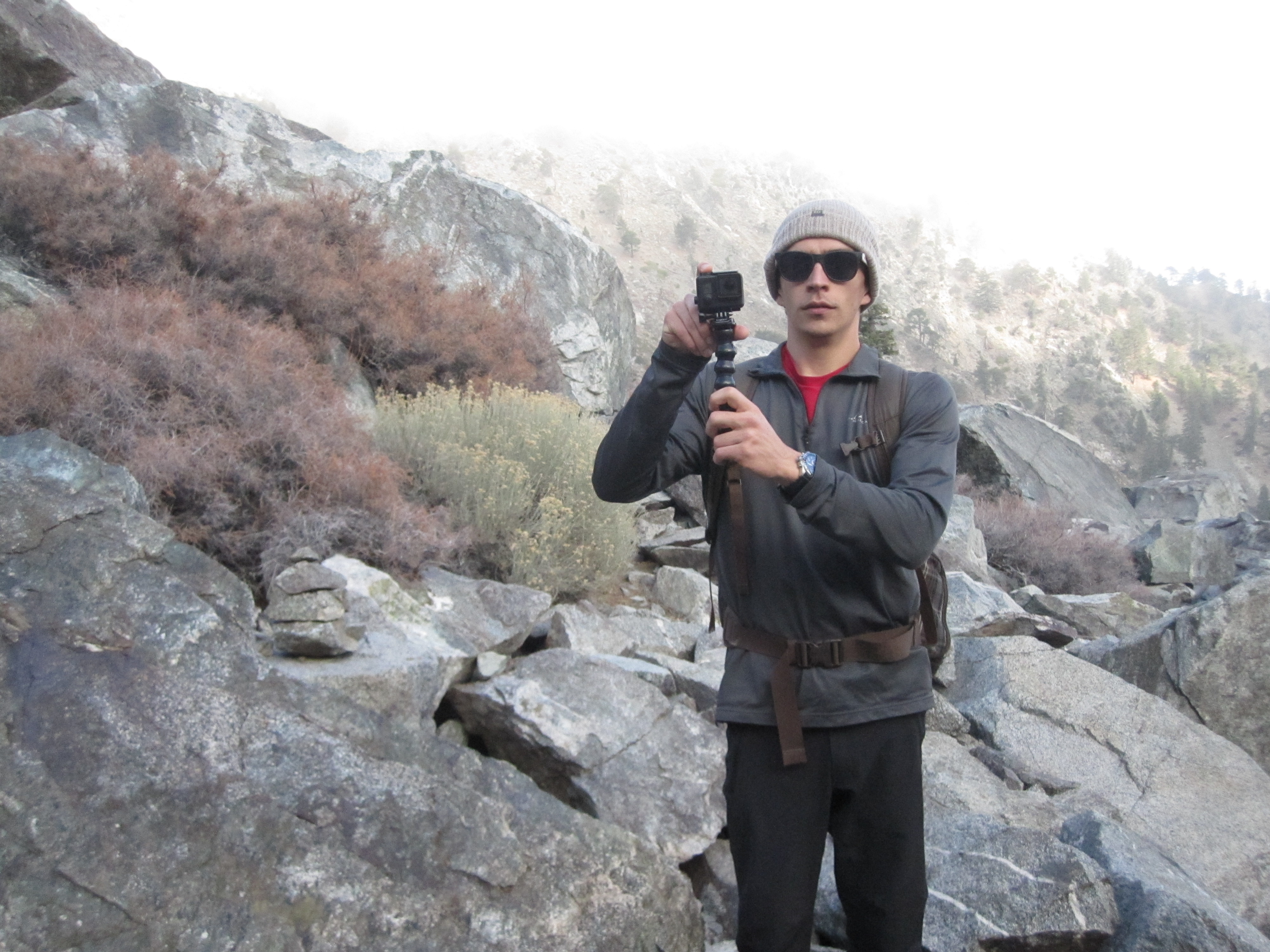
What we’re bringing: Water (4 32 oz nalgene bottles) Trekking poles (REI and black diamond) Base layers Lightweight down jackets Wind/water resistant pants and jacket (we LOVE our matching REI Mistral pants!) Buffs (to keep neck warm and wind out) Beanies Glove liners Smartwool socks Lightweight hiking shoes (mine are made by Vasque and his are Solomon) Sunglasses (UV protection) Packs (Osprey or North Face day packs) Food (performance food, energy bars) …. if I forgot anything I’ll add it here after Oh, and the GOPRO for those pics I’ll be posting later.
I’ve been following SoCalHiker to plan some trips in preparation for the JMT next summer. His “six-pack of peaks” to conquer before hiking the JMT has inspired me to do the same, but I hate to admit I’m already failing to do them in order. So this hike is his #3. I can go back and do #1 and #2 some other time when I’m feeling less up for a challenge. We just got back from Michigan, so to this icy weather, I say..
Bring it on!
Aftermath: It turned out being much more temperate than we expected, especially compared to past years with ice and snow in December. There were some small patches of snow approaching the summit, but mostly it was just sunny and gorgeous! We hiked up devil’s backbone which was literally hiking on the ridge of the mountain on a 2 ft-wide path, in some places, with huge drops on either side.
We ended up taking Java, and she did so well! Always wanting to be the leader of the group, of course. It was absolutely perfect in every way– breathtaking actually. The elevation wasn’t an issue at all, and the cool breeze and slight cloud cover on the way up actually made it much more enjoyable. We got to the summit as the clouds broke and we felt so accomplished!
I was amazed at how over-equipped and under-equipped people were doing this hike, although I guess it’s to be expected with it being the largest peak in SoCal with LA close by. We ran into a french man coming down from the summit with mountaineering boots and crampons strapped to his 65 liter pack, and we also ran into a group of teenagers in converse sneakers and Tshirts (eek!). Needless to say, we were very well prepared.
Gear: I pulled out my down Black Diamond jacket on the top since we stayed up there for a while eating and taking in the views. I was happy to have it! I didn’t use my REI mistral shell pants or long-sleeve Colombia base layer. Just a lulu lemon tank and leggings, REI long sleeve zip-up, my down jacket and Buff (which I could not hike without), baseball cap, and sunglasses!
Check out the photos…
1. Views from the fire road, hiking from Mannekar Flats to Baldy Notch 
 2. Baldy Notch/Devil’s Backbone


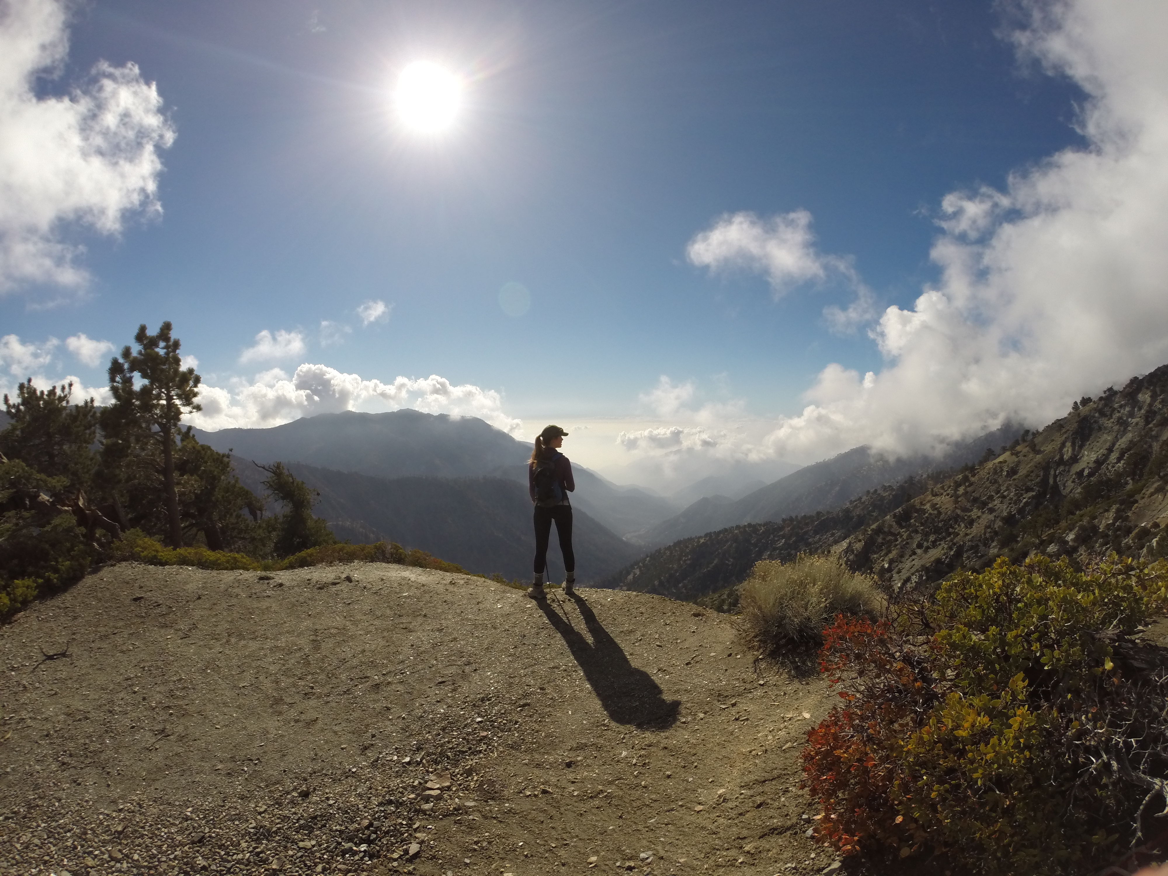 3. Nearing the summit 9,000 ft

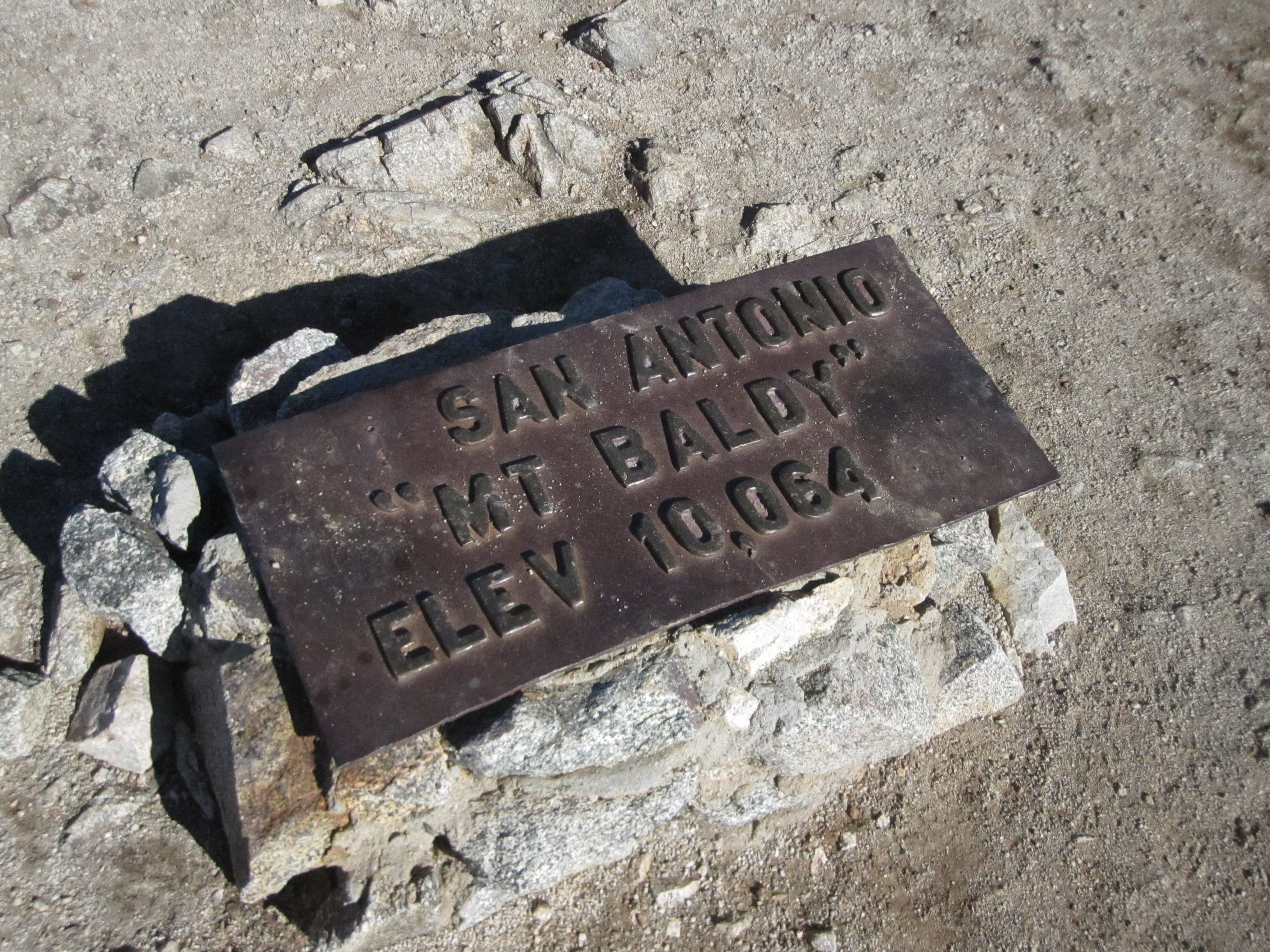
 4. Summit at Mt. Baldy!


 5. Descent down the steep Baldy Bowl